AIRAA
Link to open source: https://github.com/madhu2007-offical/AIRAA
Link to Live Project: https://frontend-theta-bice-51.vercel.app/
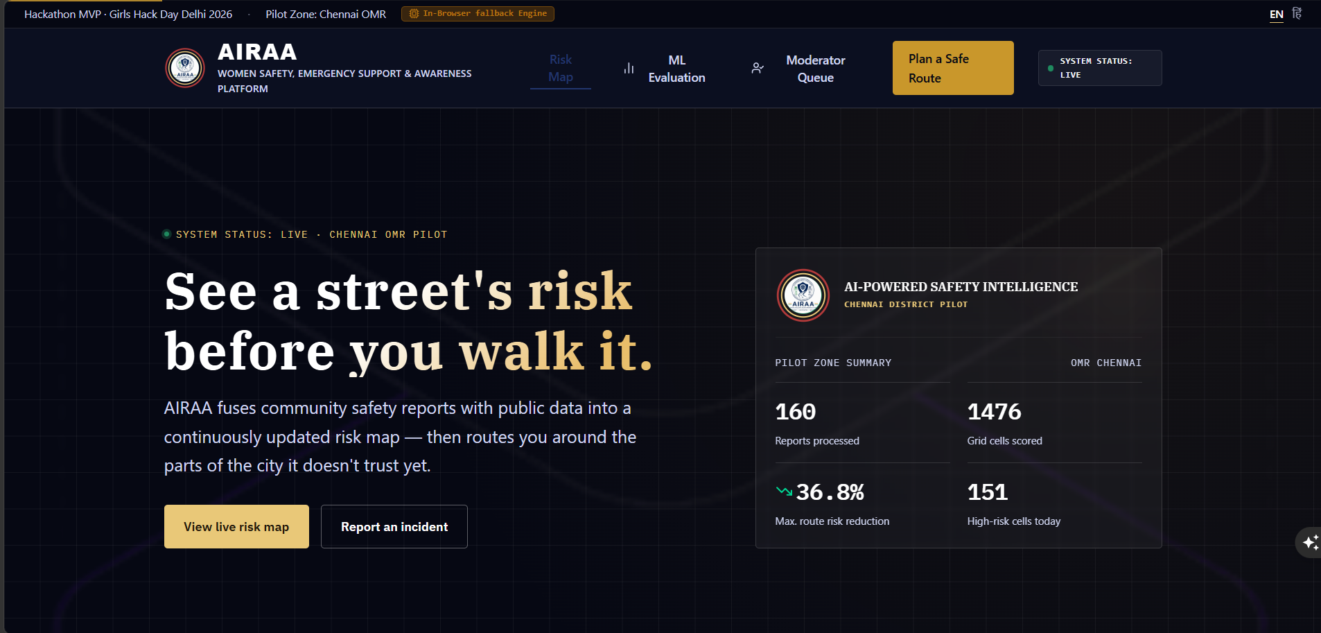
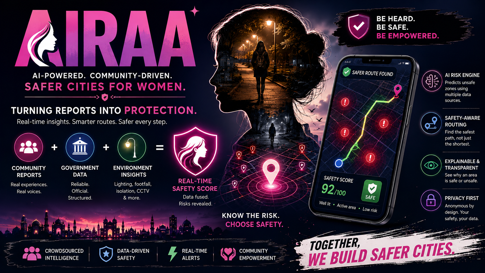
AIRAA (Adaptive Intelligence for Risk Awareness & Action) is an AI-powered safety navigation system that helps women choose safer routes through a city, not just faster ones. It turns scattered, hard-to-trust safety information into a live map - and then, unlike any existing safety app, actually uses that map to route people around danger.
What it does:
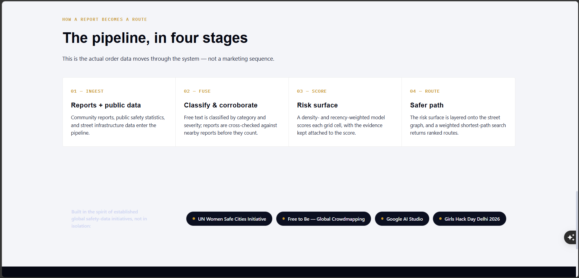
- Combines community-reported incidents, public safety data, and environmental factors (lighting, foot traffic) into one live risk map of a city
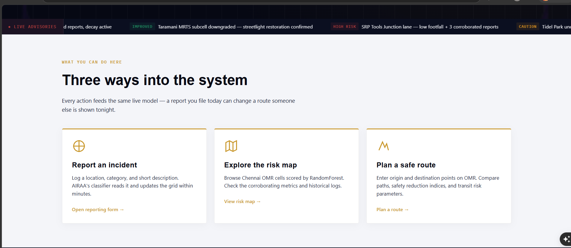
- Uses AI to read and categorize free-text incident reports automatically - no manual tagging needed
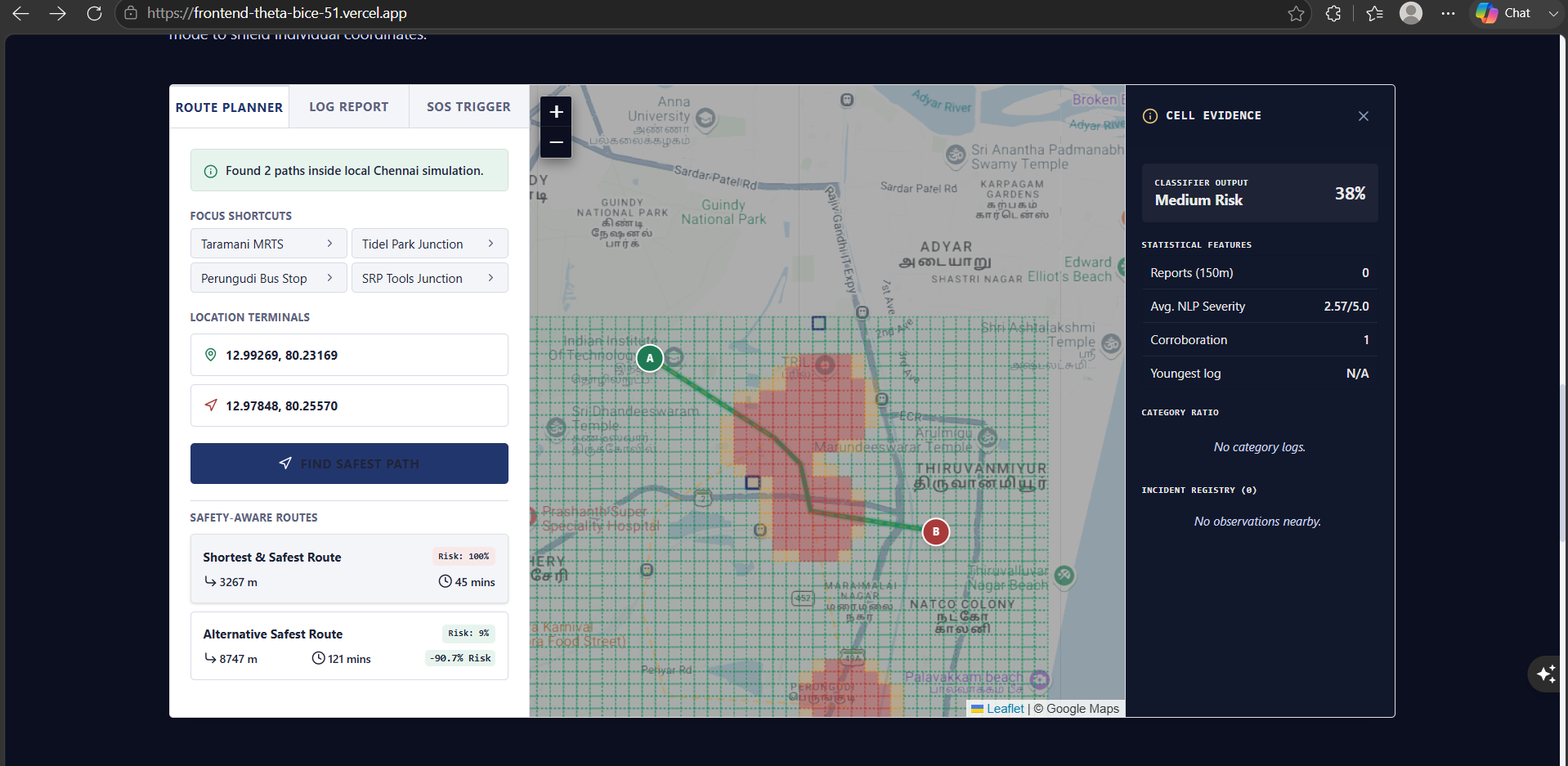
- Recommends walking routes that actively avoid high-risk areas, not just the fastest path
- Filters out unreliable or spam reports before they can distort the map, using corroboration checks
- Keeps individual reporters anonymous while still surfacing trustworthy, aggregate risk patterns
- Shows why an area is flagged risky - not just a red zone with no explanation
Why it's different:
- Most existing safety apps stop at showing pins on a map - AIRAA is the first to turn that data into an actual safer route
- Built with trust and fairness as core features, not afterthoughts - every score is explainable and corroboration-checked before it counts
- Designed to plug into real public safety data over time, not just user reports alone
Goal: Help someone get where they're going safely today, while giving city authorities a more honest, data-backed picture of where infrastructure like lighting and patrols are actually needed.
This build was uploaded as a hackathon project

