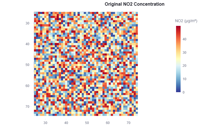
Downscaling of Satellite based air quality map using AI/ML
.png "Downscaling of Satellite based air quality map using AI/ML")
Link to open source: https://github.com/shahilcseai/gdg-hackathon
🌍 Why This Project Matters?
Air pollution is a silent killer 😷, affecting millions worldwide! NO₂ (Nitrogen Dioxide) is a major culprit, contributing to respiratory diseases 🫁, smog 🌫️, and climate change 🌡️. But there’s a problem—
🔸 Satellites provide a broad view but lack local details 🛰️
🔸 Ground stations give precise readings but are too sparse 📍
🤖 What Are We Building?
This project, inspired by Smart India Hackathon (SIH) 🏆 and ISRO 🚀, aims to enhance air quality monitoring by using AI/ML to downscale satellite-based NO₂ data. Simply put, we are:
✅ Filling the gaps in satellite data (especially under clouds ☁️)
✅ Generating fine-resolution NO₂ maps for better air quality insights 🗺️
✅ Helping policymakers, researchers & citizens take informed actions 👩🔬👨💼
🏛️ Who Can Benefit?
- Government agencies 🏢 (CPCB, pollution boards) for effective decision-making
- Researchers 📊 for better air pollution modeling & forecasting
- Smart city planners 🏙️ to design greener urban spaces
- General public 👥 to stay informed about air quality in their area
🔥 Why Is This Important?
Current solutions either focus only on satellites or ground stations, but not both together. By integrating ML-powered downscaling, we can provide:
🌟 Super-accurate, fine-resolution pollution maps
🌟 Better data for policy & public awareness
🌟 A step towards a cleaner, healthier future 🌱
This build was uploaded as a hackathon project
