FloraTrail AI: Zero-Latency Edge Vision for Offline Wildlife & Plant Identification
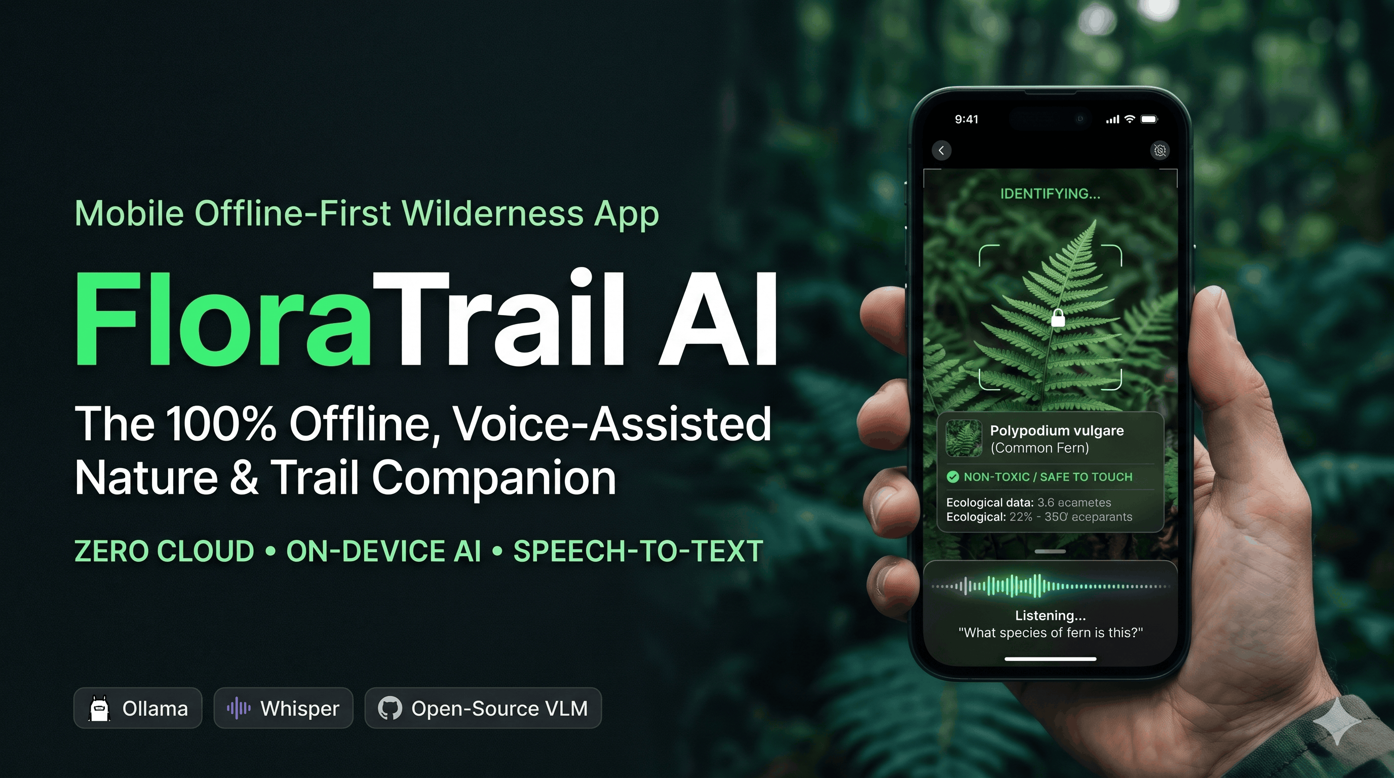
Link to open source: https://github.com/your-username/floratrail-ai
🌿 What This Build is About
FloraTrail AI is an offline-first, voice-assisted wildlife and plant identification companion powered by quantized open-source Vision-Language Models (VLMs) running entirely on the edge. Designed for trekkers, field researchers, and nature enthusiasts, it transforms any device into an intelligent field guide that sees, speaks, and identifies biodiversity in real time—with zero internet connection required.
💡 Why I Built It (The Inspiration & Problem Statement)
Most modern AI nature apps (like iNaturalist or Google Lens) suffer from a fatal flaw: they rely on cloud APIs. The moment you step into a dense forest, a high-altitude mountain trail, or a remote biodiversity hotspot, your cellular signal drops to zero—rendering cloud-based AI completely useless right when you need it most.
Furthermore, when you are navigating steep terrain or observing skittish wildlife, stopping to type queries into a screen is clumsy and distracting. I built FloraTrail AI to solve both problems at once: bringing heavyweight multimodal AI directly onto local hardware, paired with a hands-free, voice-first interface so explorers never have to look down at their screens.
⚙️ How It Works & Core Features
FloraTrail AI runs a tightly optimized local inference pipeline that processes camera frames and voice queries entirely on-device:
-
100% Offline Multimodal Inference: Utilizes locally hosted, 4-bit quantized Vision-Language Models (via Ollama / llama.cpp) to analyze plant morphology, leaf structures, and animal species in milliseconds without sending a single byte to the cloud.
-
Hands-Free Voice Interaction: Integrated with ultra-fast local Speech-to-Text (Whisper.cpp) and Text-to-Speech (Piper TTS). Just point your camera and ask, "Hey Trail, is this berry toxic?" or "What species of fern is this?" and get an instant spoken response.
-
Ecological & Safety Context: Goes beyond simple label classification. Instead of just outputting a Latin name, the model provides actionable field context—identifying medicinal properties, toxicity warnings, habitat patterns, and conservation status.
-
Zero-Latency Edge Telemetry: Caches sightings locally with GPS coordinates and timestamps into a lightweight SQLite database, allowing users to sync and export their biodiversity logs once they return to civilization.
🛠️ Tech Stack & Tools Used
-
AI & Edge Inference: Ollama, llama.cpp, Quantized Open-Source VLMs (LLaVA / Qwen2-VL / Moondream2)
-
Voice Pipeline: Whisper.cpp (Local ASR), Piper (Local Neural TTS)
-
Backend & Core Logic: Python, FastAPI, OpenCV (Frame preprocessing)
-
Database & Storage: SQLite (Local offline telemetry & species caching)
-
Frontend / UI: React, Tailwind CSS (PWA-ready for mobile and edge devices)
🌍 How It Can Be Useful for Others
-
For Hikers, Trekkers & Campers: Provides an instant safety net in the wild by identifying poisonous flora, venomous fauna, and edible foraging plants without relying on cell towers.
-
For Field Biologists & Students: Acts as an automated digital field journal that logs species sightings and answers ecological questions on the spot during remote expeditions.
-
For Open-Source Builders & Edge AI Enthusiasts: Serves as a complete, modular blueprint for building privacy-first, offline multimodal voice agents that run on consumer hardware.
