Nirbhay — AI-Powered Unsafe Zone Detection for Women's Safety
Link to open source: https://github.com/aaditisharmaa/Nirbhay
Link to Live Project: https://nirbhay-safety-app-uwva.onrender.com/
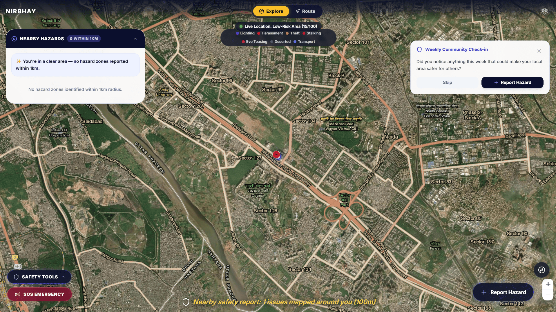
Nirbhay identifies unsafe locations in real time by combining community safety
reports with public spatial data (streetlights, isolated stretches, and police
station proximity from OpenStreetMap), then uses AI to classify reports,
detect anomalies, and explain why a zone is scored the way it is.
We built this after a personal experience — during a late-night auto ride in
an unfamiliar city, our route was changed mid-way onto a completely unlit
street. We got home safe, but it made clear how much safety information
women already carry in their heads (which streets to avoid, which times to
be careful) that never gets shared beyond a friend or two. Nirbhay turns that
scattered, word-of-mouth knowledge into a live, shared map.
Core features:
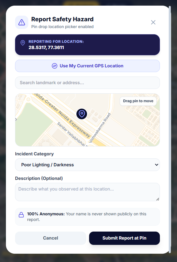
- Real-time community incident reporting, classified and scored by AI
(Claude), with confirm/dispute mechanisms so reports build trust over time
- A dynamic risk-scoring engine that factors in public infrastructure data,
time of day, and report recency — not a static crime map
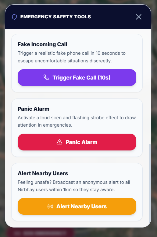
- One-tap SOS with live location sharing via SMS to emergency contacts
- Safe-route suggestions that route around high-risk zones, not just the
fastest path
- Ride Check: log a vehicle's number plate at the start of a ride, notify an
emergency contact immediately, and auto-escalate if location updates stop
arriving — designed specifically for the case where connectivity drops
mid-journey
Built with React + Vite + Leaflet on the frontend, Express + SQLite on the
backend, Claude for AI classification and explanations, and Twilio for SMS
alerts.
This build was uploaded as a hackathon project

